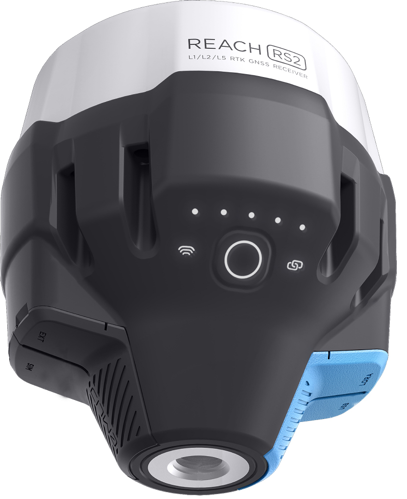
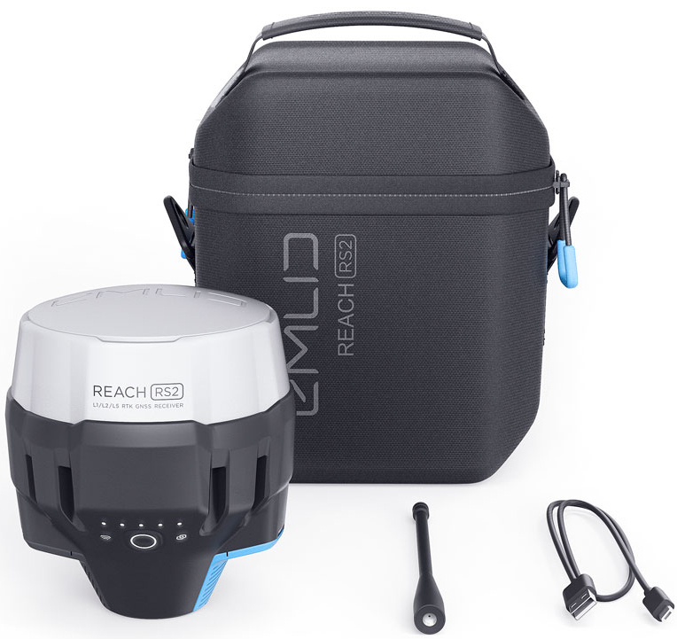
- REACH RS2 Multi-band RTK GNSS Receiver
- Features a fixed solution in just seconds
- Offers centimeter accuracy on distances over 60 km in RTK
- Its RINEX raw data logs are compatible with PPP services (e.g. OPUS, CSRS-PPP, AUSPOS)
- Has a built-in 3.5G modem
The REACH RS2 Multi-band RTK GNSS Receiver gets fixed solution in just seconds and maintains robust performance even in challenging conditions. Centimeter accuracy can be achieved on distances over 60 km in RTK, and 100 km in PPK mode. RINEX raw data logs are compatible with OPUS, CSRS-PPP, AUSPOS, and other PPP services so you can now get centimeter-precise results in any place on Earth.
Process RINEX files in an online service and get a position with absolute accuracy. Reach RS2 features a power-efficient 3.5G HSPA modem with 2G fallback and global coverage. Now corrections can be accessed or broadcasted over NTRIP independently, without relying on Internet connection on your phone. Up to 22 hours of autonomous work when logging data and up to 16 hours as a 3G rover, even in cold weather - no more need to carry spare batteries with you. Reach RS2 can charge from a USB wall charger or a power bank over USB-C.

The easiest to use software for data collection that is available both for Android and iOS. With ReachView, you can collect and stakeout points and control all the features of Reach RS2. Setting up a base station, logging RINEX data, configuring NMEA output - all can be done in ReachView.
Create projects and save points with custom name and description. Set rules for data quality. Data collection is fast and intuitive, because ReachView is designed to feel like most popular map apps. ReachView can guide you to any point like a navigator. On distance 50 cm from a point app's interface turns into bullseye view. Move the receiver to align bubbles on the screen, when interface turns green—you are on the point.

Use Reach RS2 to set up your own base station. Stream corrections over the network via NTRIP/TCP or LoRa radio, record base logs for post-processing. Reach RS2 works with any amount of rovers and is compatible with Reach RS+ and M+.
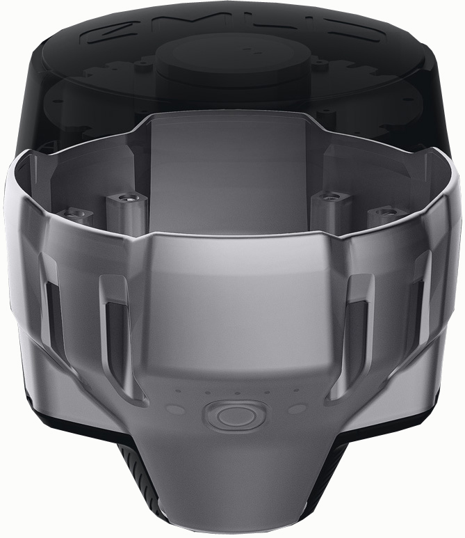
Reach RS2 can send precise coordinates over Bluetooth or Wi-Fi to your tablet with a lightbar navigation app. RS-232 interface allows connecting Reach RS2 directly to an autosteer system. Rubber-like material that forms a shock absorber around the whole device. In a sophisticated manufacturing process, an elastomer is permanently bonded to the polycarbonate base. So if your bipod falls over, Reach RS2 will bump off, no marks left.


